
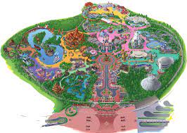
I designed this map of Stanford University’s campus for the New Student Orientation Scavenger Hunt (more information here!) and took inspiration from Disneyland maps, as seen to the right. However, after discussing with my higher-ups, I realized that the map could be something greater than itself (used for tours, major events, etc) and so I wanted to feature the most prominent spots on campus that Undergraduate students would frequent. I mainly designed this map in Procreate but ultimately compiled the map in Canva. Follow along with the progression of this Map below:
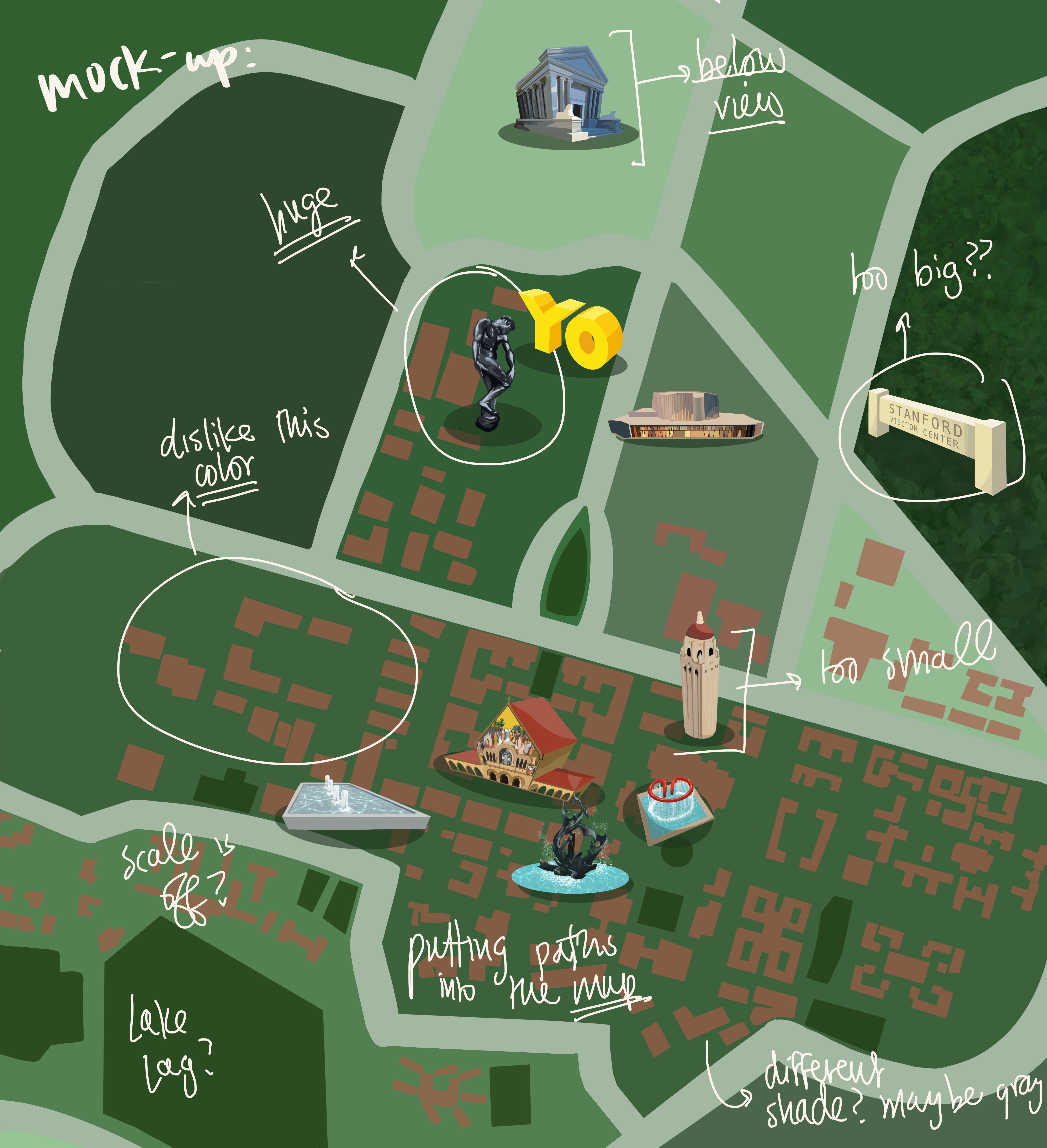
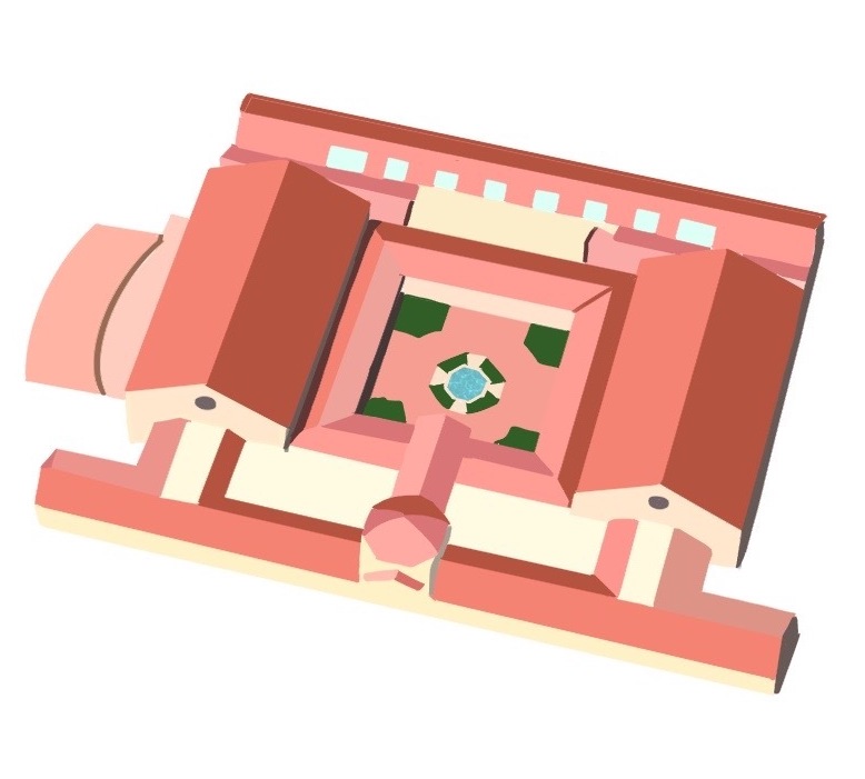
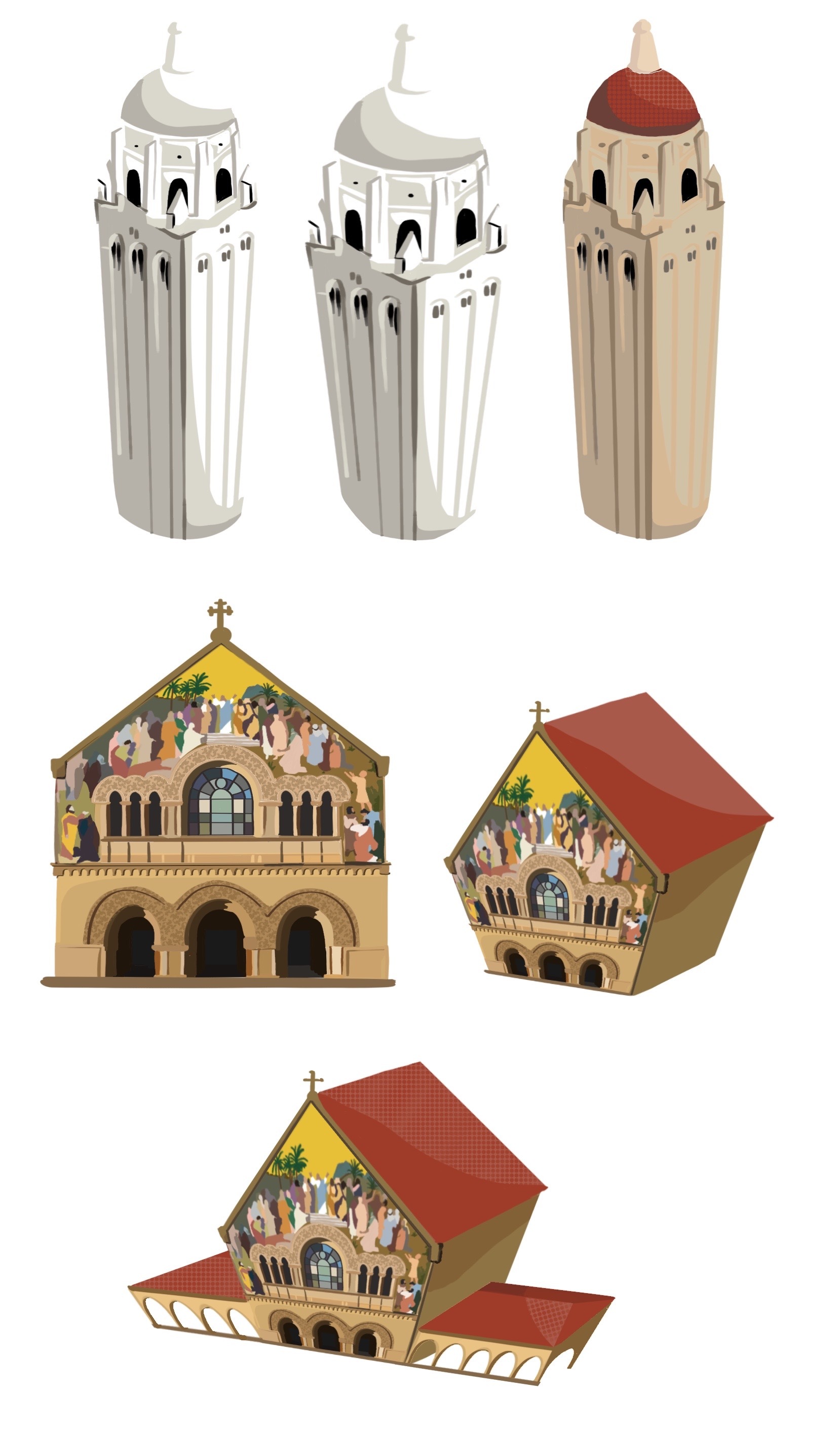
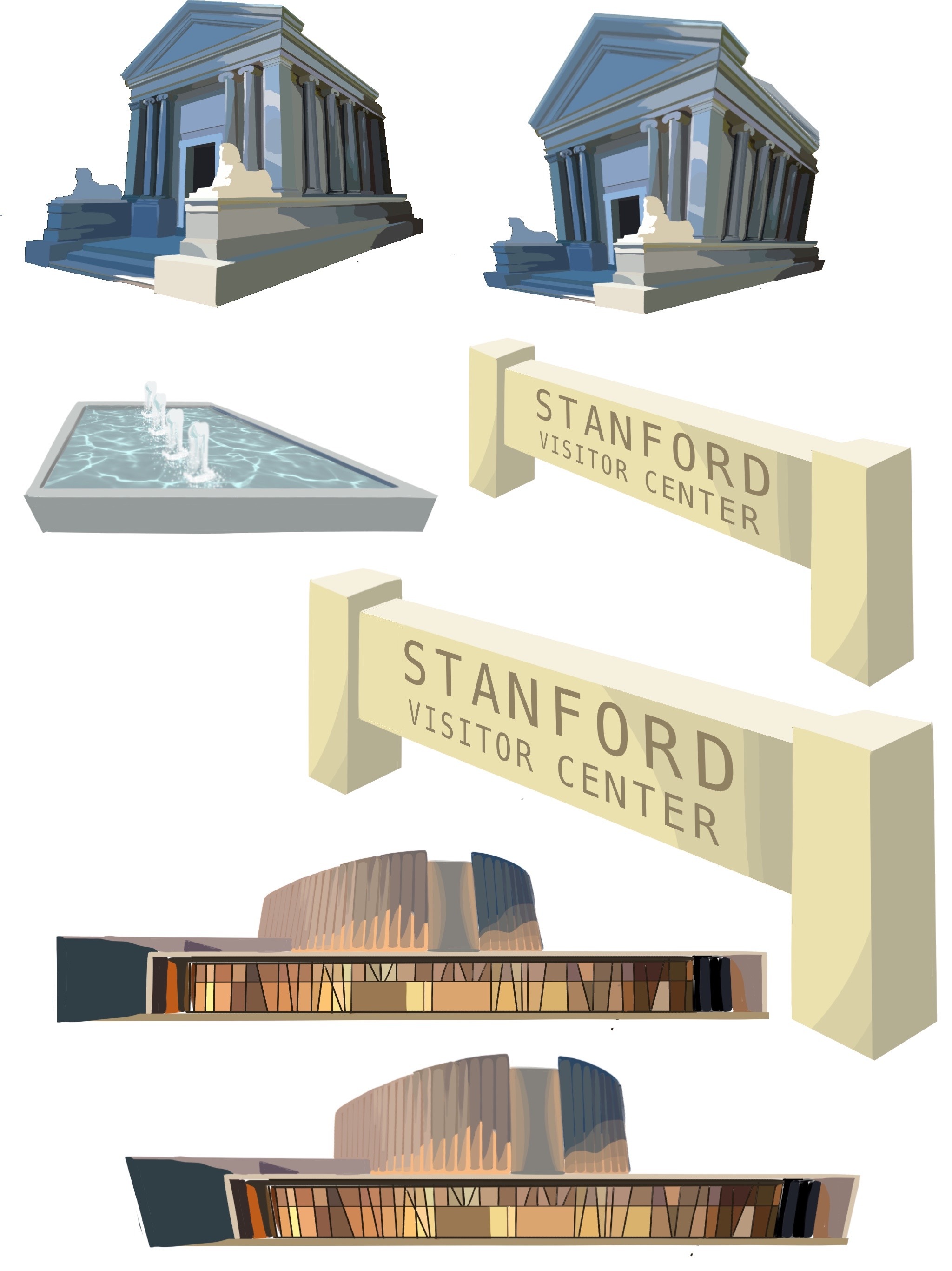
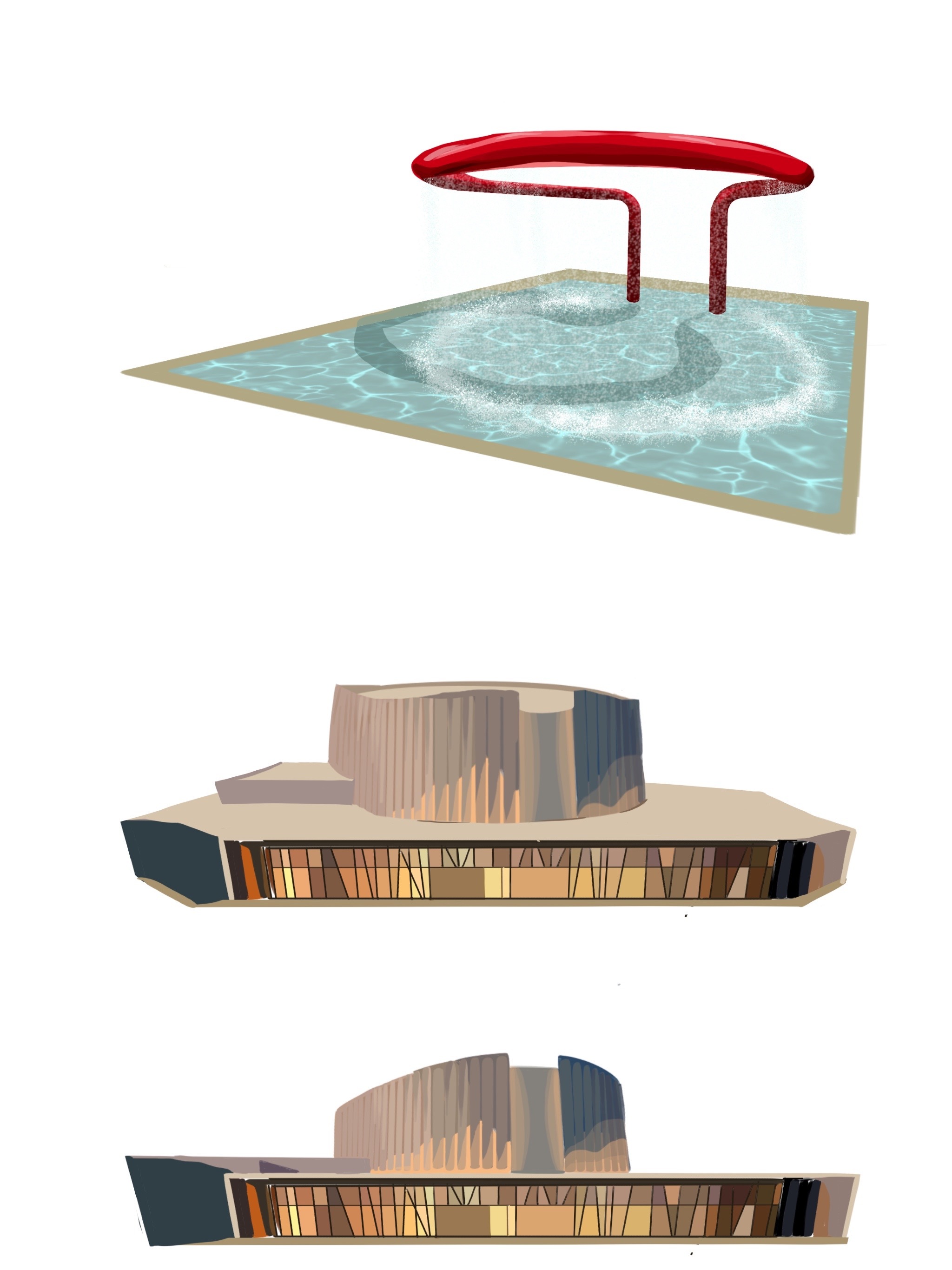
My first iteration of the campus featured a couple of the prominent locations on campus, ranging from the Rodin Sculpture Garden to Terman Fountain. The feedback I received from this draft was that there were inconsistencies with the perspectives each of the location images were in. The Stanford Mausoleum is viewed from a lower angle, but Hoover Tower is viewed from above. In fact, some of the more prominent landmarks were extruded in 3D, whereas the rest of the buildings in the background remained in a 2D aerial view. On top of this, there was a concern with the colors of the background buildings. Finally, there was an issue with the scale of the buildings on the map, as some were unsettled by the fact that the Rodin Sculpture was the same size as Hoover Tower.
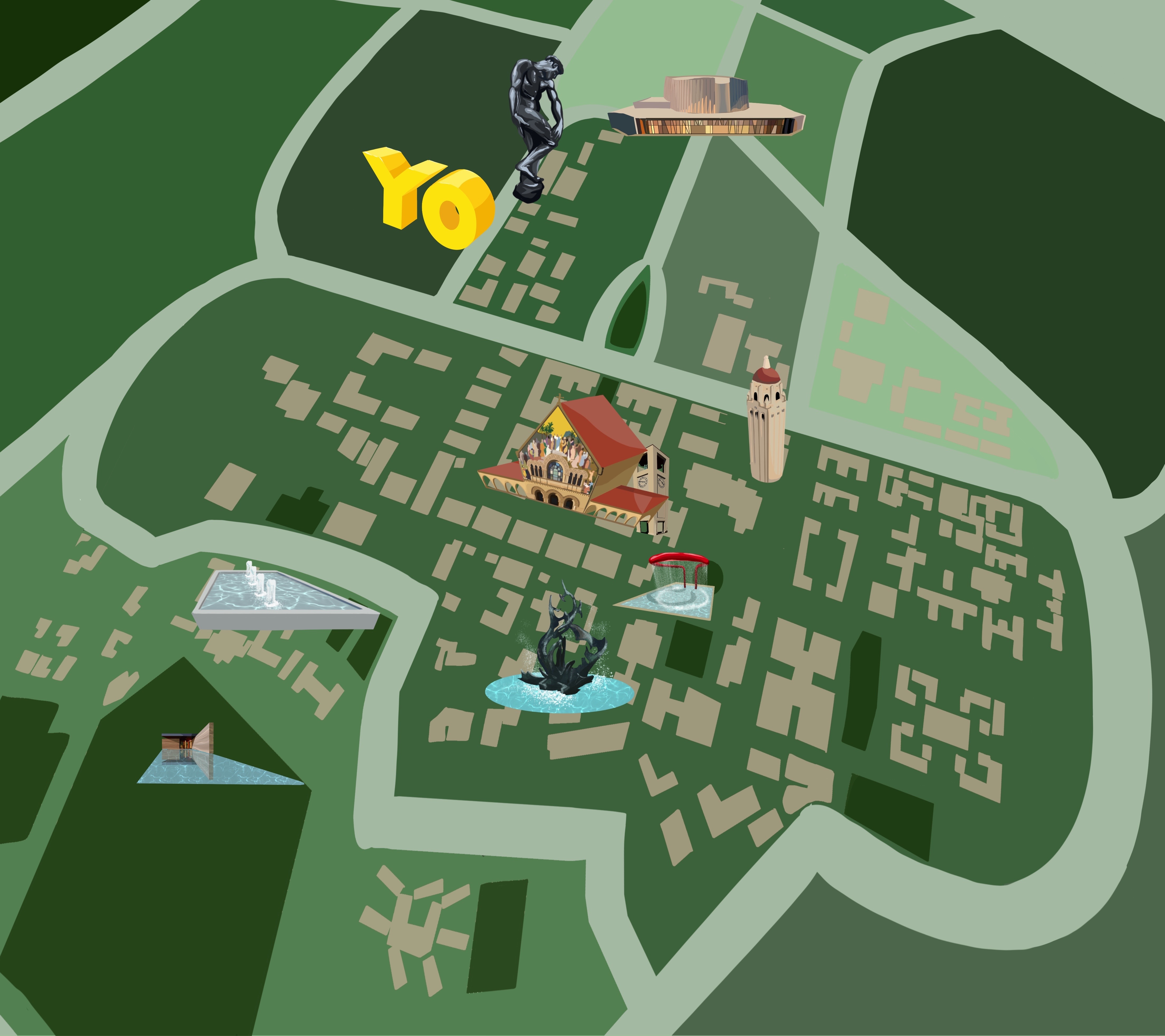
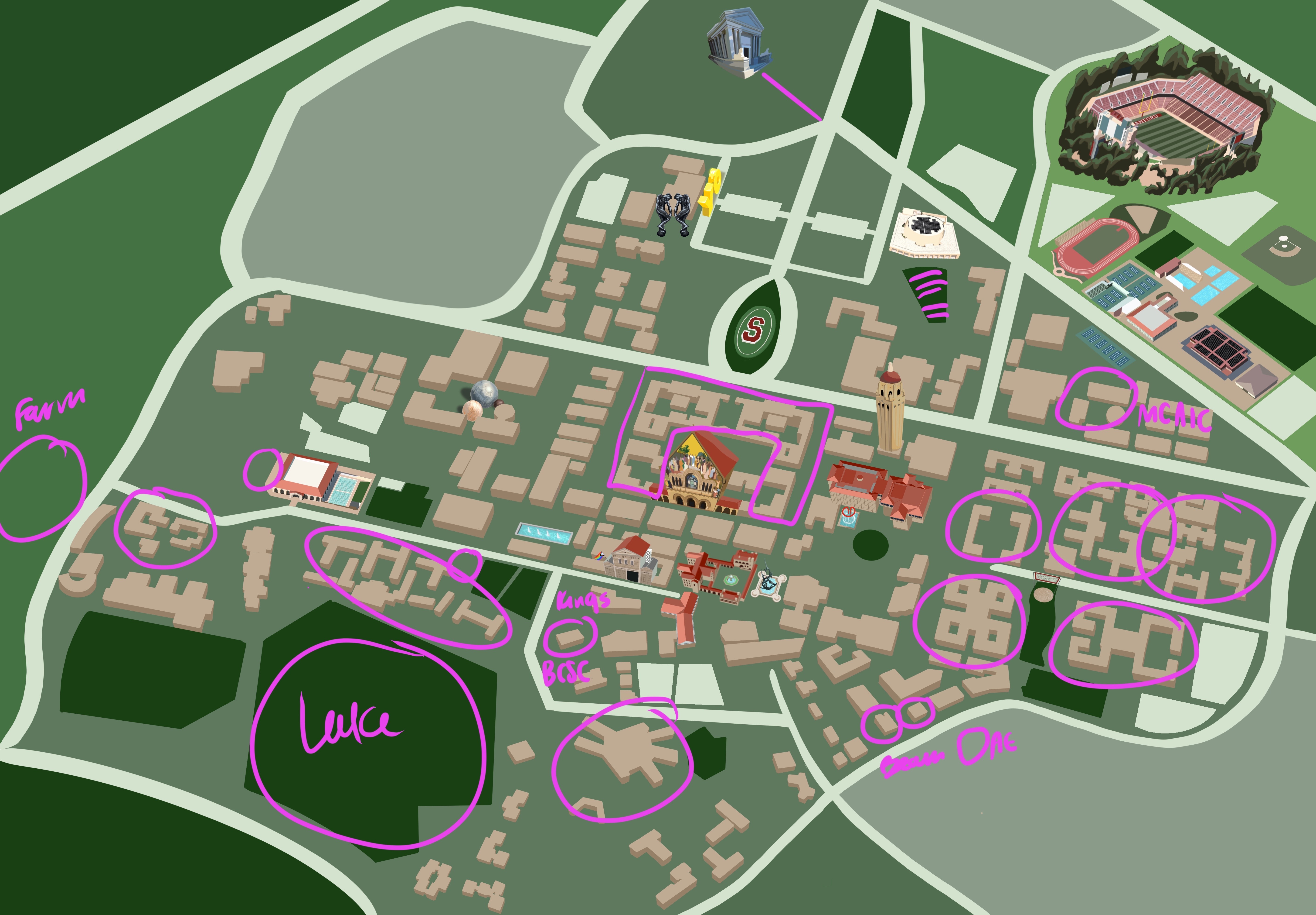
I tried to distort the base of the map in order to allow some of the buildings in the base to be viewed in a 3D plane, but it is evident that the distorted base plane did not align with many of the landmark icons I had designed. I realized that I needed to completely revisit the base of the Scavenger Hunt Map in order to maintain the perspective of the landmark icons and also have a consistent 3-Dimensional plane that the entire map rests on. Referencing a satellite image of Stanford’s campus, I re-drew the map of campus, incorporated depth into the backgrounds of the buildings, and added a couple more building landmarks (pictured below). This change was a bit more drastic than the previous drafts.


From there, I continued to add more buildings: I color-coded the Undergraduate Dormitory buildings as they aligned with the ResX neighborhood system, added other buildings that are relevant to the Undergraduate student experience, ranging from the Bechtel International Center to the Black Community Services Center to the Haas Center for Public Service. The map evolved to feature increasing numbers of buildings that were not a part of the Scavenger Hunt, as they were buildings that students should have been familiarized with.
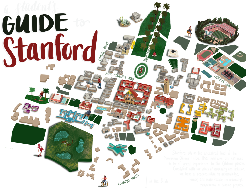
From there, I overlaid the landmark icons on top of the map base, and included a left-hand margin that listed different locations around campus, complete with index numbers that indicated their position on the map. Furthermore, the map features the Stanford Land Acknowledgement, which is as follows:
We recognize that Stanford sits on the ancestral land of the Muwekma Ohlone Tribe. This land was and continues to be of great importance to the Ohlone people. Consistent with our values of community and inclusion, we have a responsibility to acknowledge, honor and make visible the university’s relationship to Native peoples.
Stanford Land Acknowledgement
As the front of the map was nearing completion, my NSO coworkers assisted me in the development of the back of the campus map, which was complete with a Stanford Lingo Dictionary, a list of Stanford traditions, and a QR code that would give students access to the digital copy of the map as well as the accessible text.
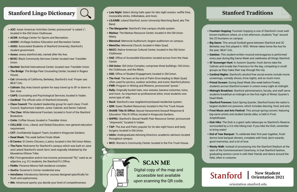
Once the frontside and the backside of the map were completed, we printed 3200+ copies of the campus map on glossy, 11in x 17in paper, and distributed them constantly throughout the week of NSO and even after the program was over.
Check out the Process Video of the map below: